

DroneRover
DroneRover — Advanced 3D Metal Detection from the Sky
Unlock the future of treasure hunting with DroneRover, a cutting-edge 3D treasure detector sensor that transforms any capable drone into a powerful aerial scanning system. Designed for explorers, archaeologists, surveyors, and serious treasure hunters, DroneRover lets you survey large or hard-to-reach areas with unmatched speed and precision.
Scan Bigger Areas, Faster, Smarter
DroneRover combines intelligent mapping, autonomous flight, and real-time 3D visualization so you can detect buried metallic and non-metallic objects from the sky. Whether you’re searching for hidden chests, ancient relics, tunnels, graves, or geological anomalies, DroneRover delivers instant insights directly to your smartphone or tablet as the drone flies.
Key Features
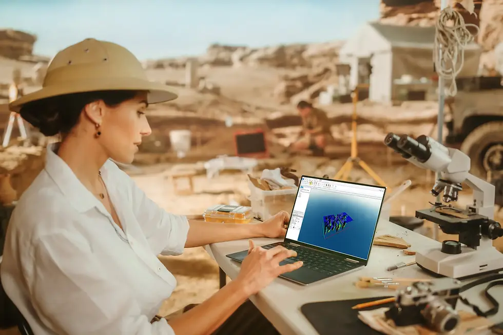
3D Real-Time Scanning: Visualize underground targets during flight with live 2D/3D mapping.
Portable & Versatile: Attaches to any drone capable of carrying ~200 g — ideal for Phantom models or compatible UAVs.
Manual & Autopilot Modes: Fly manually or let the drone execute a fully autonomous scanning mission — just mark your target area and press GO.
Advanced Detection: Designed to reveal metallic and non-metallic objects up to ~30 m / 100 ft underground under optimal conditions.
Customizable Survey Parameters: Set scan speed, resolution, flight altitude, sensitivity, and more.
Seamless Connectivity: Wireless link with your controller and smartphone (iOS/Android support coming soon).
Export & Integrate: Export collected data to PC for deeper analysis or integration with 3rd-party tools.
Included: DroneRover sensor, controller unit, sturdy travel case, and adapters.
How It Works
- Attach DroneRover to your compatible drone
- Define the scan area on the map
- Launch the drone and start scanning
- View underground data in real time
- Analyze results and identify targets
Technical Specifications
- Operating Temperature range: -10 to 50 °C
- Operating Humidity: 0-90%
- Bluetooth Connectivity: certified Bluetooth 4.0 low energy radio
- Sensor Data link: certified long range low-power wide-area network technology
- Batteries: removable AA batteries
- Weight: 100g (sensor), 200g (receiver unit)
- Sensor type: Certificated 3D magnetometer sensor
- Error correction: sensor data real-time digital signal processing
- Processor: 32-bit ARM® Cortex®-M4 core at 38.4 MHz
- Sensor range: 1km
What’s Included
- DroneRover sensor
- Control unit
- Protective carrying case
- Required cables and adapters
Ideal For
- Treasure hunters
- Archaeologists
- Geophysical surveys
- Field exploration
- Research and documentation
Performance Notes
DroneRover combines aerial surveying with advanced sensing to detect underground anomalies associated with ferromagnetic materials and generate a 3D scan image of the subsurface. It surveys large areas from the air and wirelessly transmits scan data in real time to your mobile device for fast analysis and efficient coverage.


.webp)

.webp)


